

by: Craig Lancaster
September 7, 2008
Many books have written about the rugged nature of Ravens Fork and every word is well deserved. From the hike in to the in stream wading, Ravens Fork is one of the most rugged and hazardous places in the park.
The shortest and best way to access Ravens Fork is Hyatt Ridge Trail, which is off of Straight Fork Road. The trail starts out at an elevation of around 2000′ before making the relatively short, but grueling ascend to the top of the ridge, which tops out at 4700′. This 1.9 mile hike offers you several stream crossings and a fairly wide trail that is littered with rocks, which can make footing troublesome at times. Once you are at the top of the ridge, you will join up with the Enloe Creek Trail to make the much easier 0.9 mile hike downhill to the river and campsite #47. This leg of the hike is much easier, at least on the way in, although it is narrower and is not wide enough for two people.
Ravens Fork is unique in many aspects, one being that there is only one access point directly to the river: the trail crossing at campsite #47. This campsite offers the perfect place to explore this watershed and give your legs a rest at night. The hike in and out can be done in one day, however much time is needed to truly explore what this watershed has to offer. The campsite is rather small, although it is nice and flat and offers two fire rings. Although this area does not receive many visitors, reservations are required from the park service to stay here.
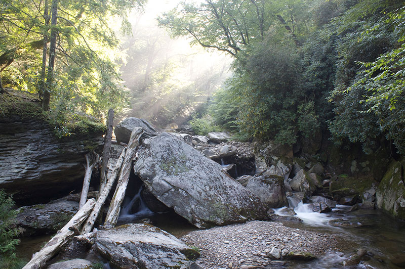
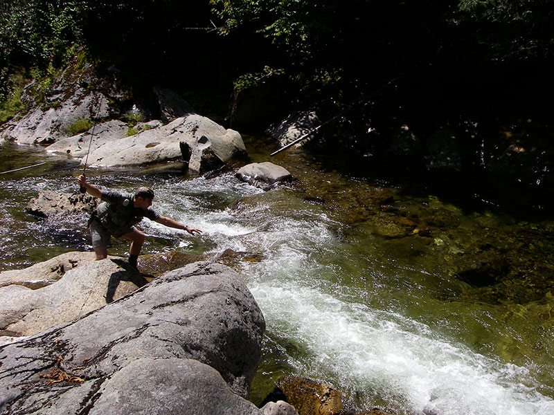
The fishing in Ravens Fork is complicated by the rugged nature of the stream, however, it’s also one of the better streams in the park. This area was largely spared by logging operations in the early 1900’s, so this offers an angler a glimpse into what fishing may have been like before that time. Right around the campsite, the stream is littered with giant boulders, deep plunge pools, and swift currents that an angler must navigate in order to fish upstream. Due to the steep gradient in this section, extreme care must be taken when wading. About 3/4 of a mile upstream from the campsite, the stream flattens out a bit until the confluence of Jones Creek at 1 mile upstream. From here on out, the stream becomes a sampling of extremely rough water and sections that are easier to wade. Remember that all steps must be re-traced in stream so leave yourself ample time to get back to camp if you choose to do this trip.
The area below the campsite downstream to it’s conjunction to Enloe Creek is almost impossible to fish seeing as how there are no access points and it is placed firmly in a gorge. I can not recommend fishing this section as I see no safe point to access the stream down in this gorge.
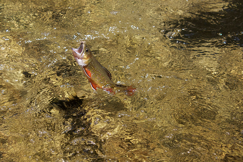
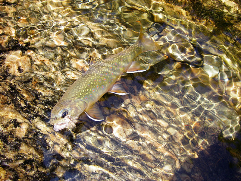
Almost all of the fish you will catch while fishing this watershed will be native Southern Appalachian brook trout. There are a few rainbows left to surprise an angler from a stocking operation before the park service owned the land. During this time, it was estimated that 2,500 rainbows were stocked, however it appears that they were not able to sustain themselves and the brook trout did not lose any ground to them. The average size is good for a brook trout stream, with a 7″ native being the average fish with enough bigger fish to keep an angler happy. The nature of this stream ensures that larger brook trout do exist and fish in the 8″-10″ are caught fairly common, although there are most certainly fish larger than this in the stream.
Ravens Fork offers some of the finest Southern Appalachian brook trout fishing in the park as well as in the Southeast. The hike in is not for the faint of heart and is only matched by the watershed’s in stream wading, which more often than not can be described as one part wading and two parts rock climbing. This watershed demands that an angler be somewhat physically fit to properly enjoy it’s wonders, but anglers that do make this journey will find a world that appears to be untouched and is graced with unimaginable beauty and fishing to match.
Article Copyright 2008 Craig Lancaster